Census maps is an interactive tool to explore Census 2021 data across England and Wales for different topics down to a neighbourhood level.
As of 31 May 2023, you can see the geographic distribution of people and households with dot density maps in addition to percentages and change over time.
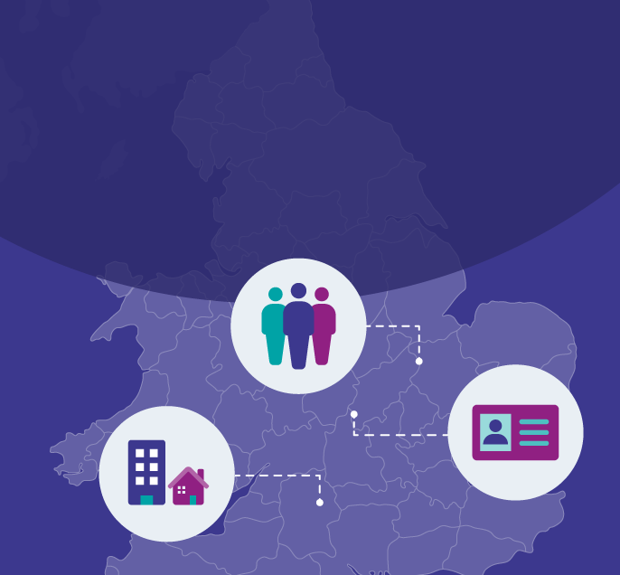
Census maps can help you to:
- see the mix of housing tenures in Atwood Green and Central Park in Birmingham
- see the percentage point change in the proportion of households with four or more people in Barking and Dagenham
- view the percentages of people by sexual orientation across Cardiff
You can also go straight to the Census maps page and make your selections there.

Dot density maps
On 31 May 2023, we added a new way to see the density and distribution of people or households by different characteristics.
Dot density maps group people or households within different areas so that a single, coloured dot represents them. The map legends show comparisons between different groups and how the area compares with England and Wales overall. The legends also show how many people or households are represented by each dot.
Dots are distributed around the selected area. They represent the area within the highlighted boundary shown on the map and not the individual building or street over which they appear.
Changes over time
Since 7 March 2023, the maps have also included changes over time between the 2011 Census and Census 2021. These are presented as percentage point (pp) changes, unless otherwise stated in the map legend.
A percentage point change is the difference between percentages. For example, if the chosen group of people or households made up 10.2% of the population in 2011 and 9.1% in 2021, this would be shown as a decrease of -1.1pp.
The maps were first published on 2 November 2022 and have been updated as more data from Census 2021 were released.
Using the data and maps
You can read more about Census maps and how to use it in this accompanying blog post.
Datasets used in the map are available with the topic summaries for:
You can embed your customised map into your website by selecting "embed this map" and pasting the link into your content management system as an iframe.
Get detailed information about the variables, definitions and classifications from the Census 2021 dictionary.
About the data
Data in Census maps are available at different levels of geography for England and Wales, including local authority areas and neighbourhoods.
MSOAs (or Middle-layer Super Output Areas) are statistical areas home to between 5,000 and 15,000 usual residents. The names used for these areas in Census maps were compiled by the House of Commons Library.
The most local available geographies for the majority of topics are Output Areas of between 100 and 625 usual residents.
We use statistical disclosure control, as explained in our Census 2021 QMI, to protect the confidentiality of census respondents.
For changes over time, we have not included topics that were new for Census 2021 or where there is no comparability with the 2011 Census. Read about how we developed and tested the questions for Census 2021.