Swale E07000113
Non-metropolitan district in Kent.
Find another area
Contents
Electoral wards
- Abbey
- Bobbing, Iwade and Lower Halstow
- Borden and Grove Park
- Boughton and Courtenay
- Chalkwell
- East Downs
- Hartlip, Newington and Upchurch
- Homewood
- Kemsley
- Milton Regis
- Minster Cliffs
- Murston
- Priory
- Queenborough and Halfway
- Roman
- Sheerness
- Sheppey Central
- Sheppey East
- St Ann's
- Teynham and Lynsted
- The Meads
- Watling
- West Downs
- Woodstock
Parishes
- Badlesmere
- Bapchild
- Bobbing
- Borden
- Boughton under Blean
- Bredgar
- Doddington
- Dunkirk
- Eastchurch
- Eastling
- Faversham
- Graveney with Goodnestone
- Hartlip
- Hernhill
- Iwade
- Leaveland
- Leysdown
- Lower Halstow
- Luddenham
- Lynsted with Kingsdown
- Milstead
- Minster-on-Sea
- Newington
- Newnham
- Norton, Buckland and Stone
- Oare
- Ospringe
- Queenborough
- Rodmersham
- Selling
- Sheerness
- Sheldwich
- Stalisfield
- Teynham
- Throwley
- Tonge
- Tunstall
- Upchurch
- Warden
Middle-layer super output areas
- Borden and The Meads
- Boughton and Selling
- Faversham East
- Faversham West
- Iwade and Kemsley
- Minster North
- Minster South
- Newington, Halstow and Upchurch
- Queenborough
- Sheerness East
- Sheerness West
- Sheppey East
- Sittingbourne Central and Milton Regis
- Sittingbourne East
- Sittingbourne South, Bapchild and Bredgar
- Sittingbourne West
- Teynham and Badlesmere
Explore statistics about Swale
Local indicators
See how Swale compares to the rest of the UK across a variety of measures.
Housing prices
See how average house prices and rents are changing in Swale
Census maps
View Census 2021 data for Swale on a map.
Changes over time
Read how Swale has changed since the 2011 Census.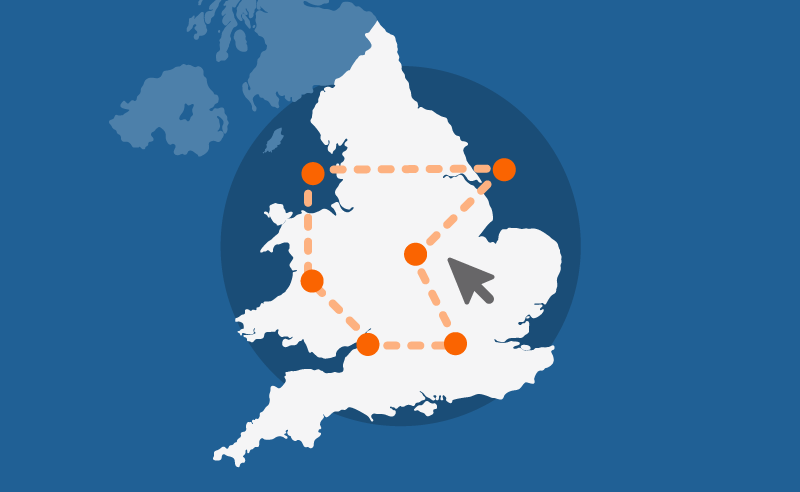
Custom profiles
Build a custom area profile for Swale using Census 2021 and newer non-Census data.
Area profiles
View Census 2021 data tables for Swale on Nomis, an ONS service (external link).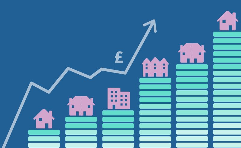
Mortgage calculator
See how average house prices and changing interest rates affecting monthly mortgage repayments in Swale.
Census quiz
Take our quiz and test your knowledge of Swale.
Health index
See how Swale compares to the rest of England on different health measures.