Lewes E07000063
Non-metropolitan district in East Sussex.
Find another area
Contents
Electoral wards
- Chailey, Barcombe and Hamsey
- Ditchling and Westmeston
- East Saltdean and Telscombe Cliffs
- Kingston
- Lewes Bridge
- Lewes Castle
- Lewes Priory
- Newhaven North
- Newhaven South
- Newick
- Ouse Valley and Ringmer
- Peacehaven East
- Peacehaven North
- Peacehaven West
- Plumpton, Streat, East Chiltington and St John
- Seaford Central
- Seaford East
- Seaford North
- Seaford South
- Seaford West
- Wivelsfield
Parishes
Middle-layer super output areas
Explore statistics about Lewes
Local indicators
See how Lewes compares to the rest of the UK across a variety of measures.
Housing prices
See how average house prices and rents are changing in Lewes
Census maps
View Census 2021 data for Lewes on a map.
Changes over time
Read how Lewes has changed since the 2011 Census.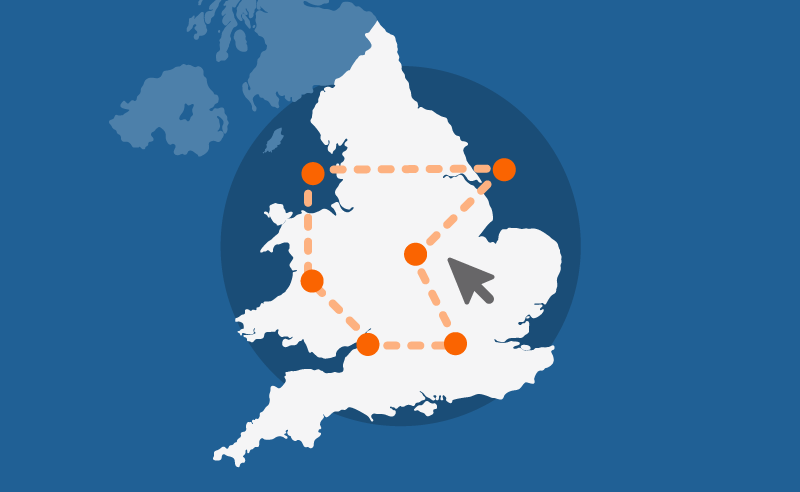
Custom profiles
Build a custom area profile for Lewes using Census 2021 and newer non-Census data.
Area profiles
View Census 2021 data tables for Lewes on Nomis, an ONS service (external link).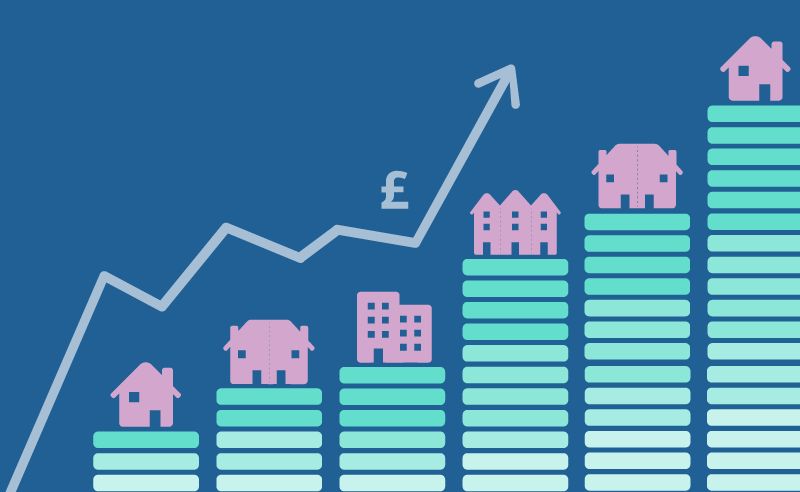
Mortgage calculator
See how average house prices and changing interest rates affecting monthly mortgage repayments in Lewes.
Census quiz
Take our quiz and test your knowledge of Lewes.
Health index
See how Lewes compares to the rest of England on different health measures.