Ealing E09000009
Borough in London.
Find another area
Contents
Electoral wards
- Central Greenford
- Dormers Wells
- Ealing Broadway
- Ealing Common
- East Acton
- Greenford Broadway
- Hanger Hill
- Hanwell Broadway
- Lady Margaret
- North Acton
- North Greenford
- North Hanwell
- Northfield
- Northolt Mandeville
- Northolt West End
- Norwood Green
- Perivale
- Pitshanger
- South Acton
- Southall Broadway
- Southall Green
- Southall West
- Southfield
- Walpole
Middle-layer super output areas
- Acton Central
- Acton Noel Road and Lynton Road
- Bedford Park
- Bilton Road
- Brent Valley
- Chiswick North West
- Cuckoo Park
- Drayton Green and Cleveland
- Ealing Broadway East
- Ealing Broadway West
- Ealing Common and Twyford Ave
- East Acton
- Elthorne Park
- Greenford North
- Greenford Ravenor Park
- Greenford South
- Greenford West
- Hanger Hill East
- Hanwell
- Horsenden
- Kingshill Avenue
- North Acton
- North Ealing
- Northfields
- Northolt East
- Northolt South
- Northolt West
- Norwood Green North and Windmill Park
- Norwood Green South
- Perivale
- Pitshanger
- South Acton
- South Ealing
- Southall Green East
- Southall Green West
- Southall North
- Southall Park
- Southall West
- St Mary's
- West Ealing
- Whitton Avenue West
Explore statistics about Ealing
Local indicators
See how Ealing compares to the rest of the UK across a variety of measures.
Housing prices
See how average house prices and rents are changing in Ealing
Census maps
View Census 2021 data for Ealing on a map.
Changes over time
Read how Ealing has changed since the 2011 Census.
Custom profiles
Build a custom area profile for Ealing using Census 2021 and newer non-Census data.
Area profiles
View Census 2021 data tables for Ealing on Nomis, an ONS service (external link).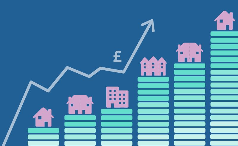
Mortgage calculator
See how average house prices and changing interest rates affecting monthly mortgage repayments in Ealing.
Census quiz
Take our quiz and test your knowledge of Ealing.
Health index
See how Ealing compares to the rest of England on different health measures.