Bromley E09000006
Borough in London.
Find another area
Contents
Electoral wards
- Beckenham Town and Copers Cope
- Bickley and Sundridge
- Biggin Hill
- Bromley Common and Holwood
- Bromley Town
- Chelsfield
- Chislehurst
- Clock House
- Crystal Palace and Anerley
- Darwin
- Farnborough and Crofton
- Hayes and Coney Hall
- Kelsey and Eden Park
- Mottingham
- Orpington
- Penge and Cator
- Petts Wood and Knoll
- Plaistow
- Shortlands and Park Langley
- St Mary Cray
- St Paul's Cray
- West Wickham
Middle-layer super output areas
- Anerley North and Penge West
- Anerley South
- Beckenham East and Kelsey Park
- Bickley East
- Bickley West
- Biggin Hill East and Cudham
- Biggin Hill West
- Bromley Common
- Bromley North and Sundridge
- Bromley South
- Chelsfield and Green Street Green
- Chislehurst East and Hoblingwell Wood
- Chislehurst North
- Chislehurst West and Elmstead
- Clock House and Cator Park
- Crofton
- Crystal Palace Park
- Eden Park and Bethlem
- Elmers End
- Farnborough
- Goddington
- Hayes North
- Hayes South and Coney Hall
- Keston
- Langley Park
- Mottingham
- New Beckenham
- Orpington East
- Orpington South
- Orpington West
- Penge East
- Petts Wood
- Plaistow (Bromley)
- Shortlands Bromley Road
- St Mary Cray East
- St Mary Cray North
- St Mary Cray South
- West Wickham
- Widmore
Explore statistics about Bromley
Local indicators
See how Bromley compares to the rest of the UK across a variety of measures.
Housing prices
See how average house prices and rents are changing in Bromley
Census maps
View Census 2021 data for Bromley on a map.
Changes over time
Read how Bromley has changed since the 2011 Census.
Custom profiles
Build a custom area profile for Bromley using Census 2021 and newer non-Census data.
Area profiles
View Census 2021 data tables for Bromley on Nomis, an ONS service (external link).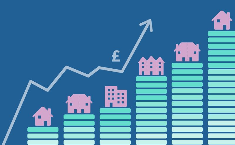
Mortgage calculator
See how average house prices and changing interest rates affecting monthly mortgage repayments in Bromley.
Census quiz
Take our quiz and test your knowledge of Bromley.
Health index
See how Bromley compares to the rest of England on different health measures.